eal estate is a booming space, provided you are aware of the latest trends and know how to use them to your advantage.
For you see, a potential property buyer wants more than just a few grainy, highly pixelated images of the property.
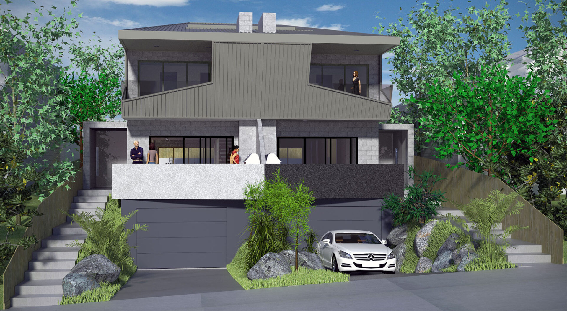
Today, people expect a 3D tour of the property, where every corner is clearly visible- giving them an accurate picture of the land without a physical visit.
And this is where drone technology enters the picture! It is a hugely untapped tech that more and more companies are switching towards these past years.
Earlier, real estate companies had to hire helicopters to capture aerial shots of the property. It was not only expensive but also a very cumbersome process that would take anywhere between a few weeks to a month’s time!
Drone aerial photography is a quick, affordable, and far more effective alternative. With UAVs, one can easily capture the property from multiple angles, capturing all the bumps and elevations of the land.
Drone equipment such as on-board sensors, camera, and GPS integration collect on-ground data. To collect ground data, drone pilots use either GCPs (ground control points) to mark the areas that need to be covered by the drone, or GPS (global positioning system).
This data is then used to create precise HD maps and 3D models using photogrammetry software.
So, if you are a real estate agent struggling to sell property in Melbourne then drones are a lifesaver!
Drones are a game changer in the AEC industries, especially for real estate agents and local contractors who cannot afford large-scale property surveys.
Read on to understand all about drone tech and how it has revolutionized the real estate industry.
What Makes Drones So Great?
Real estate agents have to bend over backwards to make the property look impressive enough to attract buyers.
It usually takes months before the piece of land would finally be ready for display! During this time, the agent has to overlook property inspections, conduct value assessment, calculate periphery measurements, cost estimation, check for plumbing, renovations and so much more.
With drones, you can get all of this done in a matter of weeks (or even less!), depending on the size of the property.
Drones can easily cover hundreds of acres in a span of hours, capturing high quality images and footage of the property from various angles.
These photographs and aerial shots set you leagues apart from traditional photography. The buyer can not only see the property, but also the surrounding areas. The panoramic view of the area provides a complete picture of the neighborhood.
In fact, a lot of property owners believe that property listings that feature aerial shots engage more customers and generate more interest than those without.
Creating Digital Surface Models
Digital visualisation has completely reinvented the way we see property listings. With drones you don’t just capture stunning pictures of the property but also generate interactive vector maps and 3D models.
With drones, property owners have the freedom to highlight the best aspects of the property. Earlier, real estate agents had a chance to physically show potential buyers the property.
Now, people turn to online property listing platforms to get all that information. And static pixelated shots of the land are not exactly attractive. Stunning drone footage is navigable, convenient and accessible!
Drones also effectively capture the nooks and crannies around the property where no human could reach (at least not without risking their lives.)
With UAVs, real estate agents can inspect rooftops, go down chimneys, check pipelines for damages and do so much more!
Professional Expertise
In Australia, not everyone can operate a commercial drone. You need a special drone license given by CASA to be eligible for flying a drone.
This reduces the risk of accidents and also safeguards the privacy of the people in the neighbourhood.
According to the Australian privacy laws, UAVs have to disclose pictures or any aerial footage captured of people, places or organizations taken without prior permission.
A quick thing I want to point out is, get your drones insured. It doesn’t just keep your drone equipment safe but also protects you against any public liability.
By public liability, I refer to any third-party damages caused by the drone to a neighbouring building or person.
Drone asset inspection is an important aspect of real estate helping agents calculate insurance coverage, set the project budgets etc.
Accurate Mapping
Depending on which type of droids you’re using, you can tweak the accuracy levels of the aerial footage captured.
A common method of measuring accuracy is by using GCPs or ground control points.
Another way to measure accuracy is by using GPS or GNS (global navigation satellite system) to compare the measurements on the map with that of the real world.
As property owners, you need to add the property measurements, volumetric estimations etc. in the description of the listing.

Value Assessment
In real estate, drones are useful every step of the way. Drone data can help with initial value assessment to cost estimation.
This is for real estate agents, property owners and insurance agents who want to assess the exact value of the property.
The team at Avian Australia, a drone surveying company, has drone experts who are licensed by CASA. Our professionals can handle everything from on site land surveys to processing drone data and generating 3D models, maps.
When Are Drones Used in Real Estate?
As a commercial drone expert, I often get this question from my clients. No, it is not mandatory to use drones for surveying or capturing property sites.
That being said, digital visualisation does boost the value of your property listing.
A few factors to consider when using drones for real estate are:
- Size of the property
- The topography
- Your budget
- The property price
- Availability of drone pilots
Not every property listing online requires aerial photography. At the end of the day, you decide whether you want drones to capture the property or not.
The best angles to capture the property
With drones, you can capture sweeping views of the property, effectively capturing the neighbouring area. This is especially useful if your property is located in a picturesque space.
So, for instance, if the acres are spanning across the countryside, or is by the beachside, drones would be the best way to capture the beauty of the property.
These long 360-degree shots and bird’s eye views automatically sets your listing apart from the others.
However, that being said, don’t limit the gallery to merely these panoramic aerial shots. You must have a good balance of the in-depth on-site footage, 3D tours and aerial photos.
Comments are closed.